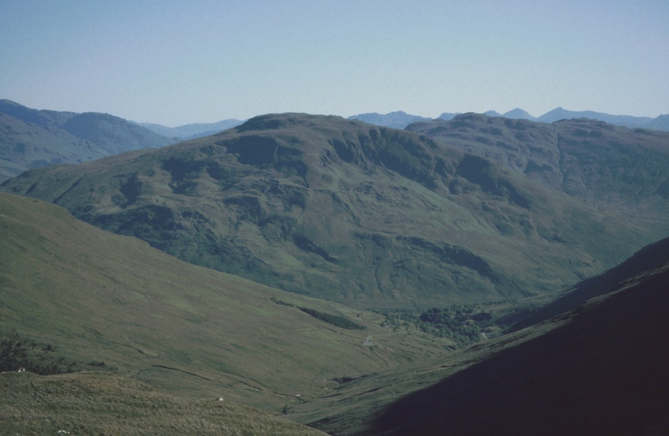
The single worst thing about the Loch Lomond and Trossachs National Park (LL&TNP) stems from its origins as a Forest Park. An absurd proportion of its once-handsome glens have lost all natural character and beauty to curtains of sitka spruce along their lower and middle slopes, often drawn so tightly as to preclude any pleasant open access to the fine hills above (sometimes, as at Ardgartan of all the ideal basepoints, any access at all to some ridges).
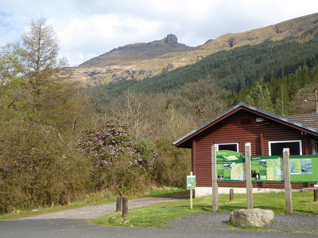
If there is any vision at all for a drawing back of these curtains, let alone for a conversion to native woodland in the more prominent parts, it has remained all but invisible through years of often too-close familiarity, coming out mainly by bus from Glasgow.
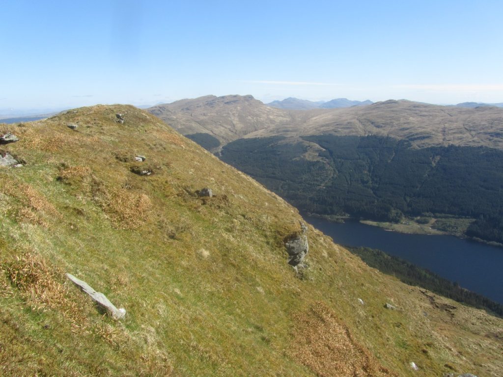
The worst-despoiled parts are the poor, disregarded hills of Cowal, and the Ardgoil–Arrochar Corbetts around Glen Croe and Rest and Be Thankful. If these rugged little hills were in the Lake District or Snowdonia – at the same heights, and free of this alien conifer plague – they would be mobbed and on every calendar.
By contrast, the Luss Hills have been relatively spared and have retained an air of openness and freedom to roam, surely the very qualities which a National Park should especially celebrate and protect. Never mind that half the Loch Lomond ‘wall’ is coniferised, that doesn’t impinge much on access or views out (however unlovely from loch or ben), or that the Loch Long side is mostly dull forest. Glen Luss itself and its ramifications, with bonnie Glen Finlas well-hidden in full sight, are free, with dapplings of native woodland that could be encouraged to spread. The ridges above may be grassy but their summits are proudly distinct – these are real hills, not mere moorland.
Glen Douglas always seems more austere, although the bleak sprawling armaments store at the west end is becoming miraculously transformed into a native woodland by dint of its 100% stockproof perimeter fence. As well as sharing rights to the crowning Doune Hill (a mere 734m, but sea level is just 4 km away), Glen Douglas has its own tops on its north side, with Beinn Bhreac–Ben Reoch a fine ever-intriguing traverse. It has suffered just the one substantial conifer plantation, on the Beinn Bhreac flank, but in contained blocks not denying access.
— — —
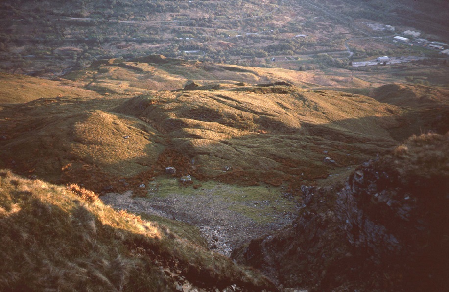
On a short bright mid-December day, with thick snow well down and low cloudbase, I seek to introduce a Glasgow friend, who has always skipped past the Luss Hills, to Glen Douglas. We might just manage Tullich Hill, which itself just manages 2000 feet (OK, 632m). I happen to know this hill well, from studying the GREAT LANDSLIP as the original Geological Surveyor endorsed his map in the 1890s (see top photo).
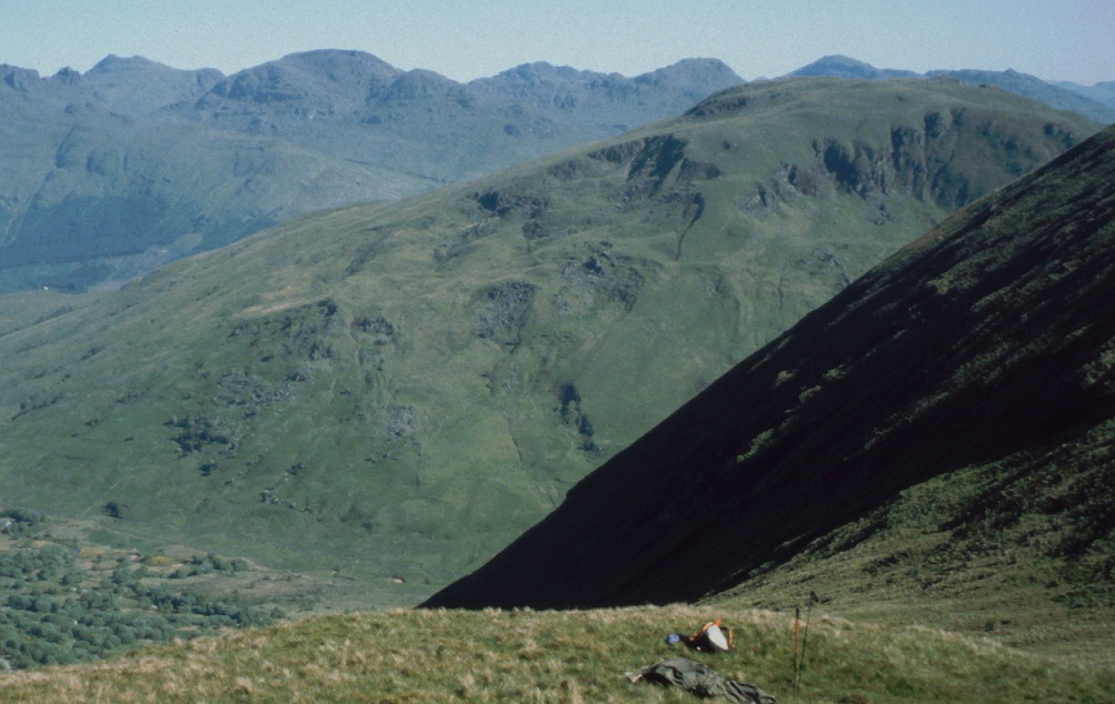
To my horror we find that the entire southern foot of Tullich Hill has recently been fenced off, wrapping round at either end we can’t see how far, for a new forest plantation. There is now no visible means of access at the SW corner, where I would usually strike up the best shoulder, nor midway, where one might enjoy the steeper, narrow ‘widow’s peak’ spur between the two false corries (a pair of vast landslip cavities). There is however a stile below the western corrie, where a faint trod leads up by an old stone dyke to lose itself in a maze of giant blocks, slipped masses, and cocked hats. And a matching stile in the top fence. This cuts across the ‘corrie’ floor, where reaching it is made still more awkward by futile deep ditching (bizarrely in dry hollows and along slipmass crests alike – did anyone visit the site or was the scheme drawn up and approved by robots?).
Where the landslip chaos precluded grazing, it already supported some well-developed native deciduous woodland. A good woodland planting scheme could have been designed to extend it, in several fenced compartments with open swathes for access and to display the best landslip features [2] In time, that could have become a handsome asset to the glen and the Park, with the fences removed once established, allowing hill cattle to resume their grazing; for such landslips create hospitable, fertile slopes by breaking up the ground.
BUT ALAS – we now have yet another curtain wall of sitka spruce, decorated with a few pointless patches of ill-placed Scots pine and deciduous frills, mostly higher up out of sight.
Commercial conifer forestry has a major place in Scotland’s economy, and we do have vast areas of lesser landscape quality that are perhaps no great loss to it, visually if not ecologically. But it is staggering beyond belief that the one-track mentality of blanket conifer still persists in sensitive glens with attractive hills, and in our first National Park of all places. And the commercial case for sitka here must be very doubtful, for such a thin strip and modest area, by comparison with mainstream forests covering many square miles – especially given that parts are inaccessible to machine harvesters, or would need destructive access tracks.
The Forest Authority, which grant-aids the private sector (now within Forestry Scotland FS), has in recent years shown commendable imagination in supporting extensive well-designed native woodland schemes – such as can be seen from the A9 in Atholl or the A87 along Loch Cluanie. How can they possibly have backed such a shoddy scheme here ? Dare one suspect that such a minor application, in cost terms, was given to the office junior… ?
Which leaves us as a last line of defence with our all-seeing all-wise National Park Authority. Did anyone at Balloch actually look at this application, let alone visit the site ? Does that person, or their manager, actually have any ability to read a plan, to envisage its impact on the whole glen and on the locale ? May we see the comments they made, or did they just rubberstamp it ?
Note that no finger is here being pointed at Luss Estates. They are far from the worst Highland owners, in caring for our common heritage here. And estates are businesses, which respond to financial signals. Without bothering to ascertain the precise forestry grant structure at the relevant date (always changing), past experience suggests the estate was probably going for the highest available rate, which probably favoured sitka, demanded that 90% of the fenced area be planted, and asked only for a token quantum of decorative stuff. It was up to the public bodies, which hand out our grant money and safeguard our natural heritage, to make sure it was wisely spent.
Our tour of Tullich Hill has become constrained by this plantation barrier to a straight up-and-down, to save climbing deer fences further on. Picking out way back through the landslip jumble, we become ever more exasperated by finding sitka planted hard against the birch-rowan woodland, just where any half-competent planting design would put the 10% tolerance of native species. And descending that last leg beside the old dyke, we cannot credit that the very corridor apparently indicated between between the two stiles has also been sitka-planted so that within a few years it will become that familiar struggle through or under spiky branches, with a few ends despairingly snipped or broken… Never mind the big picture, FS, clients, consultants, LL&TNP, none of them can even think to get such details right.
For the big picture it is now too late, the damage is done, the habitat and landscape loss is irreparable. As soon as any sitka reach maturity here, they will seed and supplant the native species. Just look across the glen at the MoD Depot, where tall sitkas have invaded from the adjacent Loch Long plantations, and are well on their way to dominance (see photo above).. But if anyone in the powers-that-be chancing to read this feels a twinge of remorse, they could seek to have access swathes and dingly dells restored – the seedlings are still easily pullable or cuttable. Perhaps even the management plan could be reviewed to convert the whole plantation to native woodland after first harvesting … We can but dream of a handsome Glen Douglas to be enjoyed by our successors.
Notes
[1] This is how it was 10-20 years ago – the south ridge of The Cobbler still had a followable path but heavily hemmed in while the splendid natural line up The Brack along its knobbly east shoulder already entailed tree-scrambling and wriggling, probably the last year it was feasible without machetes.
[2) Published in a Field Guide – D Jarman 2003 Tullich Hill rock slope failures. In The Quaternary of the Western Highland Boundary, edited by D.J.A. Evans, Quaternary Research Association.
