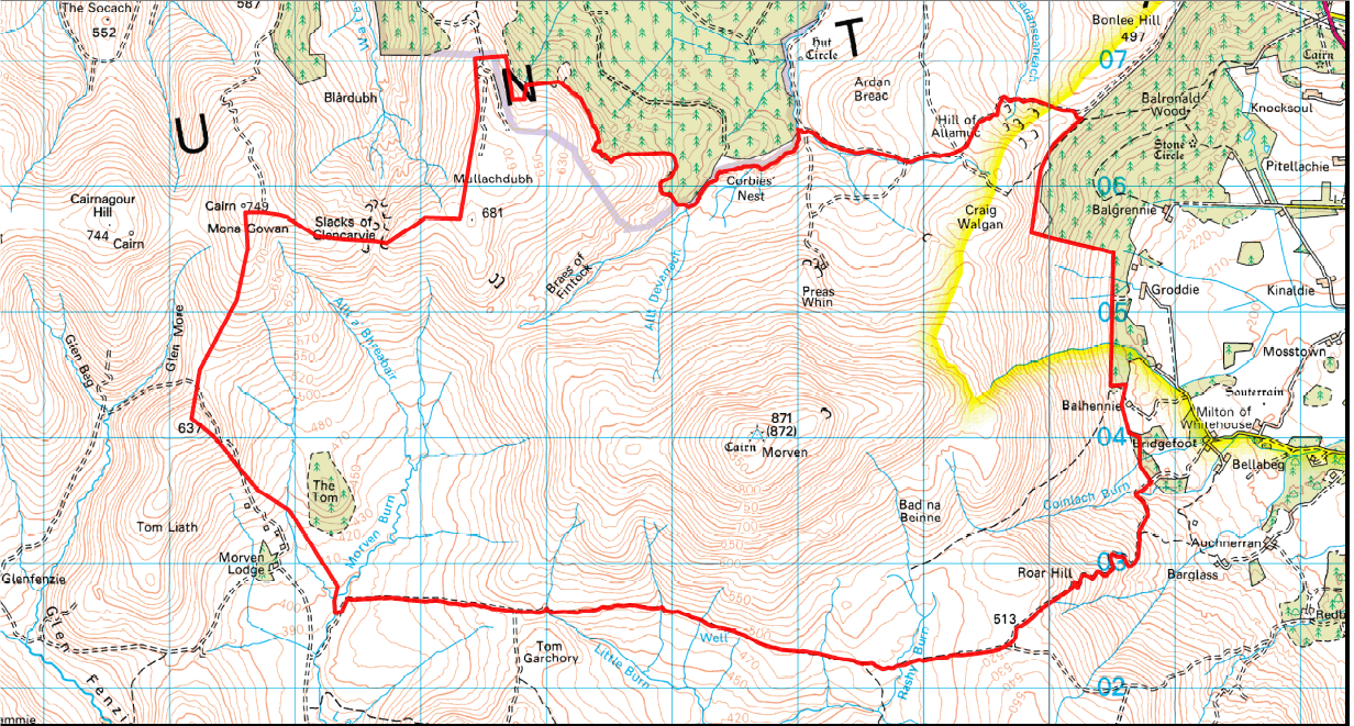
Following my post on “How to protect wildlife in our national parks” I have been thinking about how the Cairngorms National Park could achieve its stated objected of landscape scale conservation on the Dinnet Estate where I walked in September. I have since used it to illustrate the connection between grouse moors and rural depopulation (see here) and the persecution of wildlife (see here).
I had not checked what areas on Dinnet were protected by nature conservation designations before our walk but there is in fact a connection between what is protected and what you see. Unlike many SSSIs in the National Park all the features are currently classified as being in favourable condition, with only one of these – the assemblage of upland birds, surprise surprise – classified as declining (see here). However, and this is a major problem as we will see, the site is not regularly monitored and the last survey of the Alpine Heath was back in 2000.
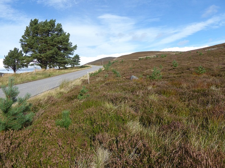
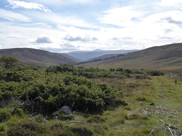
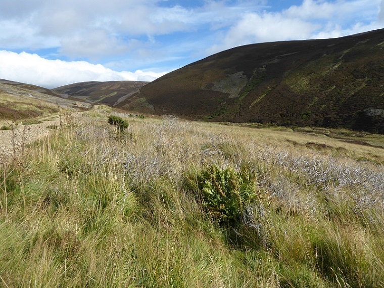
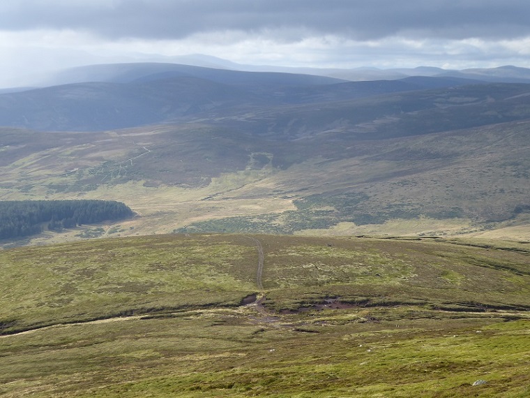
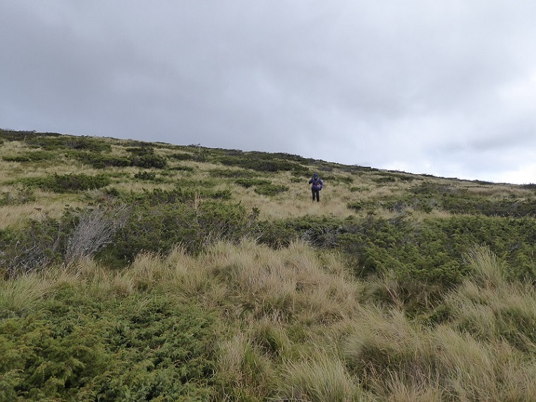
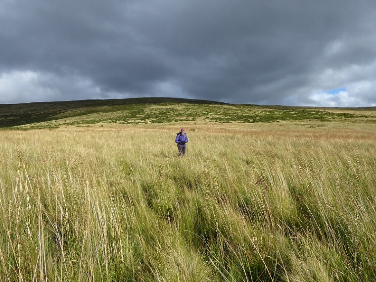
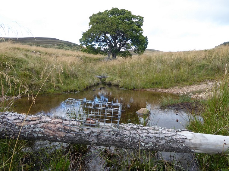
Nature protection and landscape scale conservation
I have been thinking about how Alison Johnstone MSP’s suggestion that Nature Conservation Orders could be used to protect the mountain hare in the National Park could be applied to the Dinnet Estate and what other mechanisms are available to protect species and enable habitat restoration.
- The purpose of Nature Conservation Orders is to protect natural features from damage. They are stronger than the Operations Requiring Consent because they make certain activities that damage natural features illegal. They can also be applied to land contiguous with an SSSI or European protected site or any land which Scottish Ministers believe to be of special interest for its natural features. They could thus, in theory be used to ban certain activities from the entire National Park.
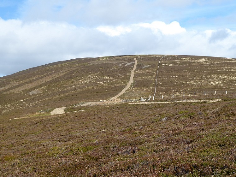
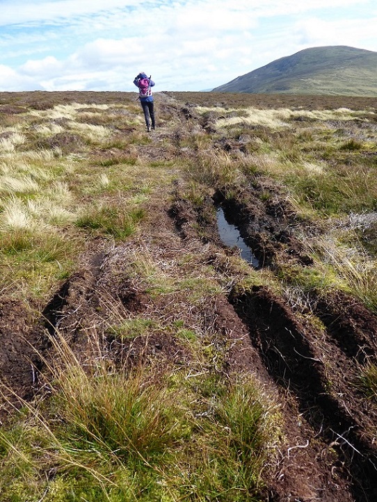
- The provisions relating to Operations Requiring Consent should be sufficient to prevent much of the persecution of wildlife that goes on on grouse moors that are designated as SSSIs as the Morven SSSI shows. The problem is the lack of monitoring (SNH does not have the resources to monitor sites properly) and the will to use existing powers to take enforcement action. There are plenty of powers to force landowners to restore damage, the problem is they are not used. I think a first step to improvement would be if SNH published in full those Operations Requiring Consent it had approved for each SSSI and together with this a mechanism for the public to report land-managers who had breached these conditions. The public would then be clearer if damage such as that documented above (the earthworks, track creation and damage by ATVs) had been agreed with SNH or not.
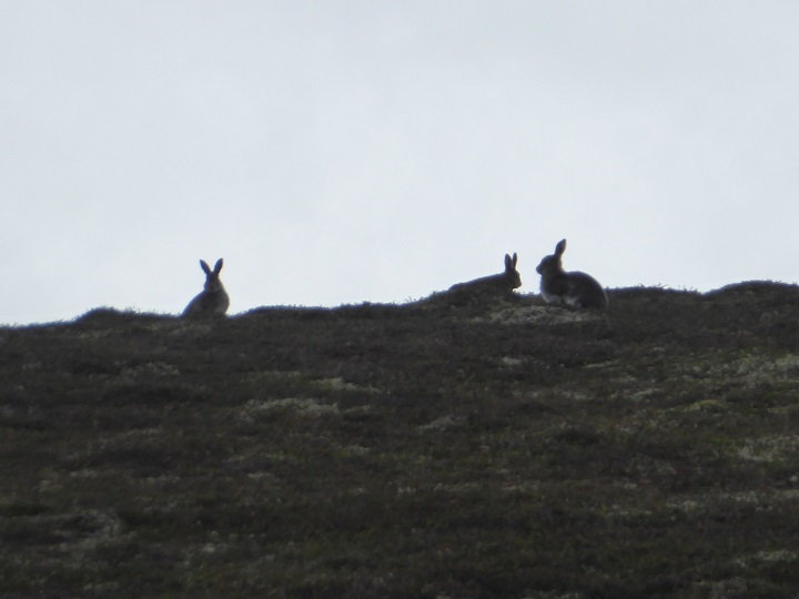
- In the case of species protection outside SSSIs, species like mountain hare are already protected. The problem is that SNH has consented to culls because of claims that mountain hares carry ticks and damage trees. Again, this is a matter of the will of our public authorities to take on the landowners.
- What is lacking at present however is any effective means to extend areas which are doing well in conservation terms. A basic flaw of our conservation system is it was designed to protect what is already there, than what might be there. To protect land SNH has to undertake a lengthy and bureaucratic process to show that certain habitats or species are present in a particular area. If they get lost, that area can lose its protected status. When I was on the Board of SNH there were proposals from the RSPB to create Special Protected Areas to save hen harrier. To designate an area SNH had to show sufficient hen harrier were present – all that did was incentivise the landowners to kill off their hen harrier as quickly as possible to avoid their land being designated. So, in my view we do need an effective means to enable natural processes and species to be restored to areas which do not meet the criteria for SSSIs or European Protected Areas.
- National Parks are one way that this could be done as they have the power to create byelaws for nature conservation purposes that cover all land, not just SSSIs. Hence my proposal that the Cairngorms National Park should regulate hunting through byelaws. The CNPA however could, if it had the will, introduce byelaws to control/stop damaging activities such as muirburn.
- Another mechanism however could be Nature Conservation Orders. Their advantage over byelaws is that they could be applied to particular areas of land. They are a stick which the Cairngorms National Park Authority, if it worked with SNH and the Scottish Government, could use to encourage landowners to work in partnership. The CNPA keeps talking about the need to work in partnership but I very much doubt that Dinnet Estate, whose failure to co-operate with the National Park on hill tracks I intend to blog about soon, would agree at present to any reduction in the damaging activities it conducts on its land outwith the SSSI. If the CNPA however was able to say it had decided that the area of juniper should be expanded beyond the SSSI boundaries to achieve landscape scale conservation, would be happy to agree with the estate where to do this but if they failed to co-operate, would ask SNH to issue a Nature Conservation Order……………….well, I think that might just provide an incentive for partnership to work.
The destruction, displacement, removal or cutting of any plant or plant remains, including shrub, herb, dead or decaying wood, moss, lichen, fungus and turf.
In respect of borrow pits within Muir of Dinnet and Morven and Mullachdubh SSSIs whilst the method statement refers to borrow pits there is no information to state whether these are subject of the planning application and therefore to be used. Works to borrow pits within the SSSIs may require consent from SNH.
33. In respect of the Muir of Dinnet SSSI and its geomorphologic interest, SNH note that the original track cuts across a number of sub glacial ridge and channel features, with the recent upgrading of the track causing additional damage which cannot be restored and has increased visual intrusion. The proposed mitigation should benefit the geomorphologic interest by visually reducing the interruption to the landforms
